Bank nearby NatWest
Coronavirus disease (COVID-19) Situation
confirmed cases
24910387
deaths
232112
United Kingdom
Bank nearby NatWest
NatWest
34, Henrietta Street, WC2E 8NL, London, Greater London, GB United Kingdom
contacts phone
:
+44 345 788 8444
website:
www.natwest.com
Latitude:
51.5113624
, Longitude:
-0.1234184
larger map & directions
read more
nearest Bank
101 m
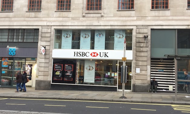
HSBC
16 King Street, London
Bank
read more
247 m
Bank Of Raphel ATM
143 Long Acre, London
Bank
read more
281 m
NatWest Bank
38 Strand, London
Bank
read more
309 m
Northwood Investors
90 Long Acre, London
Bank
read more
373 m
Chobinang Csp MsterAli
Villiers Street, London
Bank
read more
388 m
HSBC
455 Strand, London
Bank
read more
563 m
The Bank of East Asia
75 Shaftesbury Avenue, London
Bank
read more
684 m
Barclays Bank
27 Soho Square, London
Bank
read more
688 m
Royal Bank of Scotland
48 Haymarket, London
Bank
read more
702 m
The Research Bank
52 Haymarket, London
Bank
read more
734 m
Metro Bank
1 Southampton Row, London
Bank
read more
759 m
Raphaels Bank - Bank
19-21 Shaftesbury Avenue, London
Bank
read more
799 m
Syz & Co Asset Management
11 Regent Street, London
Bank
read more
841 m
Child & Co. Bankers
1 Fleet Street, London
Bank
read more
883 m
NatWest Bank
208 Piccadilly, London
Bank
read more
886 m
HSBC Bank Plc
Lion House, 25 Islington High Street, London
Bank
read more
925 m
ORRATUM
100 Pall Mall, London
Bank
read more
961 m
TSB Bank
296-302 High Holborn, London
Bank
read more
980 m
C Hoare & Co
37 Fleet Street, London
Bank
read more
1.003 km
Novagalicia Banco
Malta House, 36-38 Piccadilly, London
Bank
read more
1.037 km
Handelsbanken London West End Branch
86 Jermyn Street,, 3rd Floor, London
Bank
read more
1.074 km
Credit Suisse U.K. Limited
45 Pall Mall, London
Bank
read more
1.08 km
JORDAN INTERNATIONAL BANK PLC
King Street, London
Bank
read more
1.109 km
Cashpoint
63 York Road, London
Bank
read more
1.168 km
Barclays Bank
147 Holborn, London
Bank
read more
📑
all categories
Accounting
Administrative area level 1
Administrative area level 2
Airport
Amusement park
Aquarium
Art gallery
Atm
Bakery
Bank
Bar
Beauty salon
Bicycle store
Book store
Bowling alley
Bus station
Cafe
Campground
Car dealer
Car rental
Car repair
Car wash
Casino
Cemetery
Church
City hall
Clothing store
Colloquial area
Convenience store
Courthouse
Dentist
Department store
Doctor
Electrician
Electronics store
Embassy
Establishment
Finance
Fire station
Florist
Food
Funeral home
Furniture store
Gas station
General contractor
Grocery or supermarket
Gym
Hair care
Hardware store
Health
Hindu Temple
Home goods store
Hospital
Insurance agency
Jewelry store
Laundry
Lawyer
Library
Light rail station
Liquor store
Local government office
Locality
Locksmith
Lodging
Meal delivery
Meal takeaway
Mosque
Movie rental
Movie theater
Moving company
Museum
Natural feature
Neighborhood
Night club
Painter
Park
Parking
Pet store
Pharmacy
Physiotherapist
Place of worship
Plumber
Point of interest
Police
Political
Post office
Premise
Real estate agency
Restaurant
Roofing contractor
Route
Rv park, camping
School
Shoe store
Shopping mall
Spa
Stadium
Storage
Store
Subpremise
Subway station
Supermarket
Synagogue
Taxi stand
Train station
Transit station
Travel agency
University
Veterinary care
Zoo
administrative area level 3
administrative area level 4
sublocality level 1
↑