places in Belper
United Kingdom
Belper
Belper
Administrative Region:
England
population:
19 077
calling code:
+44-1773
postcode:
DE56
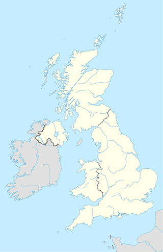
Location on the map of United Kingdom
Belper
Library
Duffield Library
19 Wirksworth Road, Duffield, Belper
Library
read more
Local government office
T P L Merrigan
Derwentside Belper, Town Street, Duffield, Belper
Local government office
read more
Thorp Chris
20A Hazelwood Road, Duffield, Belper
Local government office
read more
Locality
Belper
Belper
Locality
read more
Lodging
Willow Bank Holiday Cottage
186 B5035, Ashbourne
Lodging
read more
Standlow
Standlow Lane Kniveton, Ashbourne
Lodging
read more
The Station - Coxbench
the Station, Alfreton Road, Coxbench
Lodging
read more
The Old Saw Mill Bed & Breakfast
Robin Hood Road, Matlock
Lodging
read more
Makeney Hall Hotel
Makeney Road, Milford, Belper
Lodging
read more
Boothswood Barn Accomodation
Boothswood Farm, 0TU, Moorside Lane, Holbrook, Belper
Lodging
read more
The Garden Apartment
Milford View Cottages, 6 Chevin Road, Milford, Belper
Lodging
read more
Hoe Grange Holidays
Hoe Grange, Brassington, Matlock
Lodging
read more
Menzies Hotel
Strutt House, Bridge Foot, Belper
Lodging
read more
Mayfield Hall
Hermitage Lane, Middle Mayfield, Ashbourne
Lodging
read more
Ebenezer Chapel
Makeney Road, Milford, Belper
Lodging
read more
Grange Farm Bed & Breakfast
Shaw Lane, Milford, Belper
Lodging
read more
Air Cottage Farm
Ashbourne
Lodging
read more
Rookery Nook B&B
Church Lane, Mapperley Village, Ilkeston
Lodging
read more
Thorpe Cloud View Holiday Cottage
Ashbourne
Lodging
read more
Meal takeaway
Belper Spice
13 Park Road, Belper
Meal takeaway
read more
The Town Street Fish Bar
26 Town Street, Duffield, Belper
Meal takeaway
read more
Full Moon
99 Chestnut Avenue, Belper
Meal takeaway
read more
Golden Gate Takeaway
106 Kilbourne Road, Belper
Meal takeaway
read more
Spice King~
115 Roper Avenue, Heanor
Meal takeaway
read more
Yummy Yummy
111 Roper Avenue, Heanor
Meal takeaway
read more
📑
Belper all categories
Accounting
Amusement park
Art gallery
Atm
Bakery
Bank
Bar
Beauty salon
Bicycle store
Book store
Bus station
Cafe
Campground
Car dealer
Car rental
Car repair
Car wash
Cemetery
Church
Clothing store
Convenience store
Dentist
Department store
Doctor
Electrician
Electronics store
Finance
Fire station
Florist
Food
Funeral home
Furniture store
Gas station
General contractor
Grocery or supermarket
Gym
Hair care
Hardware store
Health
Home goods store
Jewelry store
Laundry
Lawyer
Library
Liquor store
Local government office
Locality
Lodging
Meal delivery
Meal takeaway
Movie rental
Moving company
Museum
Natural feature
Night club
Painter
Park
Parking
Pet store
Pharmacy
Physiotherapist
Place of worship
Plumber
Point of interest
Post office
Real estate agency
Restaurant
Roofing contractor
Rv park, camping
School
Shoe store
Spa
Store
Supermarket
Train station
Transit station
Travel agency
University
Veterinary care
administrative area level 3
↑