Gas station nearby Morrisons Petrol Station
Coronavirus disease (COVID-19) Situation
confirmed cases
24910387
deaths
232112
United Kingdom
Gas station nearby Morrisons Petrol Station
Morrisons Petrol Station
17 Swinnow Road, Bramley, Leeds United Kingdom
contacts phone
:
+44
Latitude:
53.8042199
, Longitude:
-1.6380975
read more
nearest Gas station
3 m
Morrisons Petrol Station
17 Swinnow Road, Leeds
Gas station
read more
3 m
Morrisons Petrol Station
Swinnow Road, Leeds
Gas station
read more
1.097 km
BP
Henconner Lane, Leeds
Gas station
read more
1.297 km
Stanningley Road Service Station
Henconner Lane, Town End, Bramley, Leeds
Gas station
read more
1.315 km
BP
174 Pudsey Road, Leeds
Gas station
read more
1.497 km
Wharrells Service Station
90 Lowtown, Pudsey
Gas station
read more
1.498 km
Esso
90 Lowtown, Pudsey
Gas station
read more
1.51 km
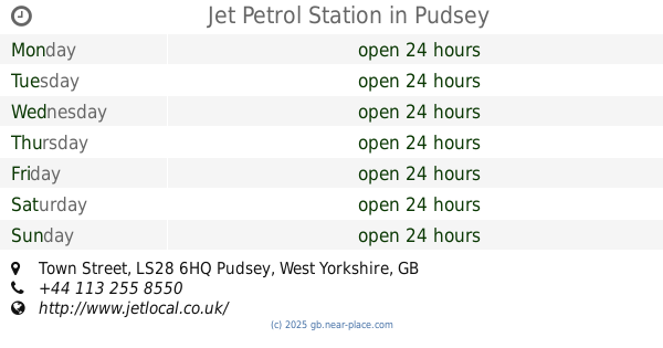
Jet Petrol Station
Town Street, Pudsey
Gas station
read more
1.775 km
Thorpe Service Station
Richardshaw Lane, Leeds
Gas station
read more
2.327 km
ASDA Petrol Station
Stanningley, Pudsey
Gas station
read more
2.54 km
Morrisons Petrol Station
1 Savins Mill Way, Leeds
Gas station
read more
3.197 km
BP
Kirkstall Road, Leeds
Gas station
read more
3.49 km
Esso
Broadway, Horsforth, Leeds
Gas station
read more
3.765 km
Shell Horsforth
Broadway, Ring Road, Leeds
Gas station
read more
3.767 km
Shell
Broadway, Ring Road, Leeds
Gas station
read more
4.166 km
Shell
Ring Road, Leeds
Gas station
read more
4.189 km
Spring Petroleum
167 Cardigan Rd, Leeds
Gas station
read more
4.456 km
BP
199 Otley Road, Leeds
Gas station
read more
4.634 km
Leeds Bio Fuels
4 Artist Street, Leeds
Gas station
read more
5.095 km
Gildersome Service Station
Gelderd Road, Morley, Leeds
Gas station
read more
5.17 km
BP
Ring Road, Leeds
Gas station
read more
5.624 km
Shell
Westgate Hill Street, Bradford
Gas station
read more
5.673 km
Sainsbury's Petrol Station
760 Harrogate Road, Bradford
Gas station
read more
6.104 km
Esso
Tong Street, Bradford
Gas station
read more
6.257 km
Asda Petrol
Old Lane, Leeds
Gas station
read more
📑
all categories
Accounting
Administrative area level 1
Administrative area level 2
Airport
Amusement park
Aquarium
Art gallery
Atm
Bakery
Bank
Bar
Beauty salon
Bicycle store
Book store
Bowling alley
Bus station
Cafe
Campground
Car dealer
Car rental
Car repair
Car wash
Casino
Cemetery
Church
City hall
Clothing store
Colloquial area
Convenience store
Courthouse
Dentist
Department store
Doctor
Electrician
Electronics store
Embassy
Establishment
Finance
Fire station
Florist
Food
Funeral home
Furniture store
Gas station
General contractor
Grocery or supermarket
Gym
Hair care
Hardware store
Health
Hindu Temple
Home goods store
Hospital
Insurance agency
Jewelry store
Laundry
Lawyer
Library
Light rail station
Liquor store
Local government office
Locality
Locksmith
Lodging
Meal delivery
Meal takeaway
Mosque
Movie rental
Movie theater
Moving company
Museum
Natural feature
Neighborhood
Night club
Painter
Park
Parking
Pet store
Pharmacy
Physiotherapist
Place of worship
Plumber
Point of interest
Police
Political
Post office
Premise
Real estate agency
Restaurant
Roofing contractor
Route
Rv park, camping
School
Shoe store
Shopping mall
Spa
Stadium
Storage
Store
Subpremise
Subway station
Supermarket
Synagogue
Taxi stand
Train station
Transit station
Travel agency
University
Veterinary care
Zoo
administrative area level 3
administrative area level 4
sublocality level 1
↑