United KingdomLeeds
Leeds
Administrative Region:
England
population:
536 321
calling code:
+44-113
postcode:
LS1-LS20
LS25-LS27
LS88
LS98-LS99
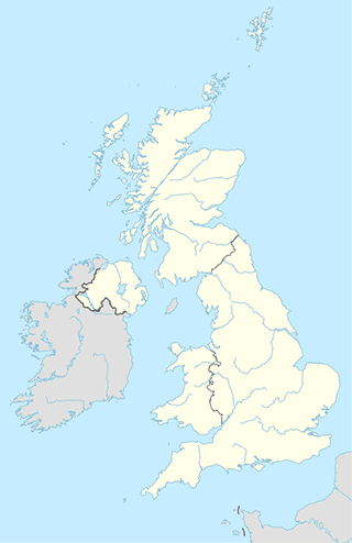
Location on the map of United Kingdom
Leeds
Travel agency


Virgin Holidays Leeds
Commercial Street Mall Trinity Centre - Ground Floor, Leeds


Zoo
administrative area level 3
Atm
Bakery

📑 Leeds all categories
AccountingAirportAmusement parkArt galleryAtmBakeryBankBarBeauty salonBicycle storeBook storeBowling alleyBus stationCafeCampgroundCar dealerCar rentalCar repairCar washCasinoCemeteryChurchCity hallClothing storeColloquial areaConvenience storeCourthouseDentistDepartment storeDoctorElectricianElectronics storeFinanceFire stationFloristFoodFuneral homeFurniture storeGas stationGeneral contractorGrocery or supermarketGymHair careHardware storeHealthHindu TempleHome goods storeHospitalInsurance agencyJewelry storeLaundryLawyerLibraryLiquor storeLocal government officeLocalityLocksmithLodgingMeal deliveryMeal takeawayMosqueMovie rentalMovie theaterMoving companyMuseumNatural featureNeighborhoodNight clubPainterParkParkingPet storePharmacyPhysiotherapistPlace of worshipPlumberPoint of interestPolicePoliticalPost officePremiseReal estate agencyRestaurantRoofing contractorRouteRv park, campingSchoolShoe storeShopping mallSpaStadiumStorageStoreSubpremiseSupermarketSynagogueTrain stationTransit stationTravel agencyUniversityVeterinary careZooadministrative area level 3sublocality level 1