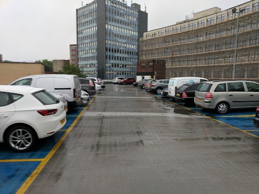
Parking nearby Clifton Down Station
Coronavirus disease (COVID-19) Situation
confirmed cases
24910387
deaths
232112
United Kingdom
Parking nearby Clifton Down Station
Clifton Down Station
21 Saint John's Road, Bristol United Kingdom
contacts phone
:
+44
Latitude:
51.4644699
, Longitude:
-2.6126211
read more
nearest Parking
127 m
Canynge Hall
58 Whiteladies Road, Bristol
Parking
read more
169 m
Clifton Down Station Car Park - Clifton | APCOA
Clifton Down Station, Whiteladies Road, Clifton
Parking
read more
522 m
27 Belgrave Rd Parking
27 Belgrave Road, Bristol
Parking
read more
529 m
Zoom Parking
161, Ocean Estate Agents, 179 Whiteladies Road, Bristol
Parking
read more
614 m
19 Tyndalls Park Rd Parking
19 Tyndalls Park Road, Bristol
Parking
read more
819 m
Howard House
Queen's Avenue, Bristol
Parking
read more
821 m
West Car Park
44 College Road, Bristol
Parking
read more
821 m
West Car Park
44 College Rd, Bristol
Parking
read more
859 m
Howard House
Elmdale Road, Bristol
Parking
read more
895 m
Car Park Area
Saint Michael's Park, Bristol
Parking
read more
996 m
West End Car Park
Jacob's Wells Road, Bristol
Parking
read more
1.005 km
NCP West End
25 Berkeley Place, Bristol
Parking
read more
1.318 km
Old Park Hill Gravel
12 Old Park Hill, Bristol
Parking
read more
1.464 km
Frog Lane
Frog Lane, Bristol
Parking
read more
1.656 km
Nelson Street Car Park
All Saints' Street, Bristol
Parking
read more
1.672 km
NCP Car Park
Fairfax Street, Bristol
Parking
read more
1.802 km
Oldfield Place Car Park
Oldfield Place, Hotwells, Bristol
Parking
read more
1.857 km
Maritime Heritage Centre Car Park
24 Gas Ferry Road, Bristol
Parking
read more
1.891 km
Parking
Canon's Marsh, Bristol
Parking
read more
2.063 km
The Grove Car Park
40 The Grove, Bristol
Parking
read more
2.121 km
1 Queen St Garage
1 Queen Street, Bristol
Parking
read more
2.298 km
Redcliffe Parade
8 Redcliffe Parade East, Bristol
Parking
read more
2.343 km
Parking Kościół św. Maria Redcliffe
Portwall Lane, Bristol
Parking
read more
2.347 km
Portwall Lane
Phippen Street, Bristol
Parking
read more
2.376 km
Bristol First Hotel
Church Street, Bristol
Parking
read more
📑
all categories
Accounting
Administrative area level 1
Administrative area level 2
Airport
Amusement park
Aquarium
Art gallery
Atm
Bakery
Bank
Bar
Beauty salon
Bicycle store
Book store
Bowling alley
Bus station
Cafe
Campground
Car dealer
Car rental
Car repair
Car wash
Casino
Cemetery
Church
City hall
Clothing store
Colloquial area
Convenience store
Courthouse
Dentist
Department store
Doctor
Electrician
Electronics store
Embassy
Establishment
Finance
Fire station
Florist
Food
Funeral home
Furniture store
Gas station
General contractor
Grocery or supermarket
Gym
Hair care
Hardware store
Health
Hindu Temple
Home goods store
Hospital
Insurance agency
Jewelry store
Laundry
Lawyer
Library
Light rail station
Liquor store
Local government office
Locality
Locksmith
Lodging
Meal delivery
Meal takeaway
Mosque
Movie rental
Movie theater
Moving company
Museum
Natural feature
Neighborhood
Night club
Painter
Park
Parking
Pet store
Pharmacy
Physiotherapist
Place of worship
Plumber
Point of interest
Police
Political
Post office
Premise
Real estate agency
Restaurant
Roofing contractor
Route
Rv park, camping
School
Shoe store
Shopping mall
Spa
Stadium
Storage
Store
Subpremise
Subway station
Supermarket
Synagogue
Taxi stand
Train station
Transit station
Travel agency
University
Veterinary care
Zoo
administrative area level 3
administrative area level 4
sublocality level 1
↑