Parking nearby St Giles Multi Storey Car Park
United Kingdom
Parking nearby St Giles Multi Storey Car Park
St Giles Multi Storey Car Park
25 Saint Giles Street, Norwich United Kingdom
contacts phone
:
+44
Latitude:
52.6292376
, Longitude:
1.2904908
read more
nearest Parking
216 m
Dukes Wharf Car Park
Westwick Street, Norwich
Parking
read more
262 m
Duke Street Car Park
4 Duke Street, Norwich
Parking
read more
272 m
Chantry Car Park
The Chantry, Norwich
Parking
read more
341 m
norwich castle museum
Castle Meadow, Norwich
Parking
read more
376 m
Chapelfield
21 Chapel Field East, Norwich
Parking
read more
415 m
Q-Park Chapelfield
intu Chapelfield Shopping Centre, Norwich
Parking
read more
429 m
Barn Road Car Park
Barn Road Car Park, Norwich
Parking
read more
452 m
Car park Roman Catholic Cathedral
2 Earlham Road, Norwich
Parking
read more
462 m
The Mall Norwich - Car Park Two
The Mall Norwich - Car Park Two, Norwich
Parking
read more
469 m
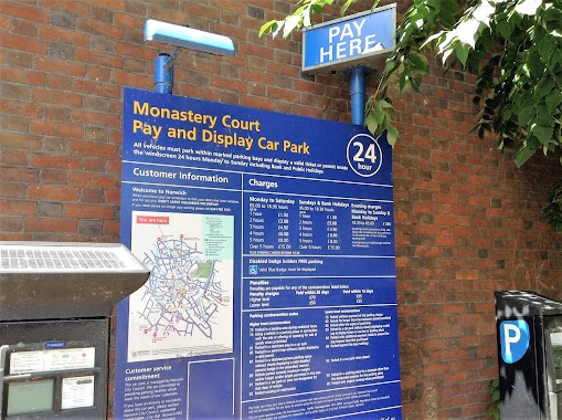
Monastery Court Car Park
Elm Hill, Norwich
Parking
read more
482 m
Castle Mall Car Park 1
Market Avenue, Norwich
Parking
read more
536 m
Elm Hill Car park
32A Elm Hill, Norwich
Parking
read more
565 m
N C P
12 Queens Road, Norwich
Parking
read more
640 m
Colegate Car Park
Colegate Car Park, Norwich
Parking
read more
674 m
Spenny G's
11 Dereham Road, Norwich
Parking
read more
717 m
John lewis car park
45 Brooke Place, Norwich
Parking
read more
794 m
Rouen Road Car Park
Rouen Road, Norwich
Parking
read more
794 m
Rouen Road
Rouen Road, Norwich
Parking
read more
826 m
Magdalen Car Park
Saint Saviours Lane, Norwich
Parking
read more
839 m
Carpark asian shopping
Norwich
Parking
read more
841 m
Queens Road
81 Surrey Street, Norwich
Parking
read more
845 m
Rose Lane Car Park
Mountergate, Norwich
Parking
read more
879 m
Gildengate
Anglia Square Cut Through, Norwich
Parking
read more
892 m
Queens Road Car Park
Queens Road, Norwich
Parking
read more
997 m
Bishopsgate Church Car Carpark
1RZ, Bishopgate, Norwich
Parking
read more
📑
all categories
Accounting
Administrative area level 1
Administrative area level 2
Airport
Amusement park
Aquarium
Art gallery
Atm
Bakery
Bank
Bar
Beauty salon
Bicycle store
Book store
Bowling alley
Bus station
Cafe
Campground
Car dealer
Car rental
Car repair
Car wash
Casino
Cemetery
Church
City hall
Clothing store
Colloquial area
Convenience store
Courthouse
Dentist
Department store
Doctor
Electrician
Electronics store
Embassy
Establishment
Finance
Fire station
Florist
Food
Funeral home
Furniture store
Gas station
General contractor
Grocery or supermarket
Gym
Hair care
Hardware store
Health
Hindu Temple
Home goods store
Hospital
Insurance agency
Jewelry store
Laundry
Lawyer
Library
Light rail station
Liquor store
Local government office
Locality
Locksmith
Lodging
Meal delivery
Meal takeaway
Mosque
Movie rental
Movie theater
Moving company
Museum
Natural feature
Neighborhood
Night club
Painter
Park
Parking
Pet store
Pharmacy
Physiotherapist
Place of worship
Plumber
Point of interest
Police
Political
Post office
Premise
Real estate agency
Restaurant
Roofing contractor
Route
Rv park, camping
School
Shoe store
Shopping mall
Spa
Stadium
Storage
Store
Subpremise
Subway station
Supermarket
Synagogue
Taxi stand
Train station
Transit station
Travel agency
University
Veterinary care
Zoo
administrative area level 3
administrative area level 4
sublocality level 1
↑