Atm nearby Sainsbury's Bank ATM
United Kingdom
Atm nearby Sainsbury's Bank ATM
Sainsbury's Bank ATM
312A, Bixteth Street, L3 9LQ, Liverpool, Merseyside, GB United Kingdom
contacts phone
:
+44
website:
www.sainsburys.co.uk
Latitude:
53.4093569
, Longitude:
-2.9940154
larger map & directions
read more
nearest Atm
221 m
Parqueo
Rumford Street, Liverpool
Atm
read more
336 m
Commercial Banking
United Kingdom
Atm
read more
373 m
ATM Moorfields Train Station
2 Moorfields, Liverpool
Atm
read more
456 m
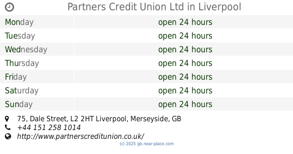
Partners Credit Union Ltd
75 Dale Street, Liverpool
Atm
read more
524 m
LINK ATM
James Street, Liverpool
Atm
read more
526 m
ATM (James Street Station)
James Street, Liverpool
Atm
read more
551 m
ATM
17 Lord St،Liverpool
Atm
read more
565 m
ATM
24 Lord St،Liverpool
Atm
read more
571 m
ATM (Liver Lounge)
Pier Head, Liverpool
Atm
read more
666 m
ATM
30 Waterloo Road, Liverpool
Atm
read more
680 m
ATM
101 Lord St،Liverpool
Atm
read more
714 m
ATM (Genting Club Queen Square)
3 Queen Square, Liverpool
Atm
read more
720 m
ATM
South John Street, Liverpool
Atm
read more
723 m
ATM
2 Paradise St،Liverpool
Atm
read more
730 m
Halifax Bank ATM
15 Paradise Street, Liverpool
Atm
read more
730 m
HALIFAX ATM
15 Paradise Street, Liverpool
Atm
read more
876 m
ATM (St Johns Shopping Centre 2)
125 Saint George's Place, Liverpool
Atm
read more
882 m
ATM (St Johns Shopping Centre)
St John's Shopping Centre, Liverpool
Atm
read more
887 m
ATM
5 Parker St،Liverpool
Atm
read more
901 m
Atm (John Moores)
Liverpool
Atm
read more
915 m
ATM
121-129 Great Howard Street, Liverpool
Atm
read more
975 m
Lee-Dong Wang
Lime Street, Liverpool
Atm
read more
997 m
Sainsbury's ATM Cash Machine
180 - 181 Elliot Street, Liverpool
Atm
read more
1.068 km
Natwest ATM
Fairclough Street, Liverpool
Atm
read more
1.072 km
ATM (Santander)
21-23 Ranelagh Street, Liverpool
Atm
read more
📑
all categories
Accounting
Administrative area level 1
Administrative area level 2
Airport
Amusement park
Aquarium
Art gallery
Atm
Bakery
Bank
Bar
Beauty salon
Bicycle store
Book store
Bowling alley
Bus station
Cafe
Campground
Car dealer
Car rental
Car repair
Car wash
Casino
Cemetery
Church
City hall
Clothing store
Colloquial area
Convenience store
Courthouse
Dentist
Department store
Doctor
Electrician
Electronics store
Embassy
Establishment
Finance
Fire station
Florist
Food
Funeral home
Furniture store
Gas station
General contractor
Grocery or supermarket
Gym
Hair care
Hardware store
Health
Hindu Temple
Home goods store
Hospital
Insurance agency
Jewelry store
Laundry
Lawyer
Library
Light rail station
Liquor store
Local government office
Locality
Locksmith
Lodging
Meal delivery
Meal takeaway
Mosque
Movie rental
Movie theater
Moving company
Museum
Natural feature
Neighborhood
Night club
Painter
Park
Parking
Pet store
Pharmacy
Physiotherapist
Place of worship
Plumber
Point of interest
Police
Political
Post office
Premise
Real estate agency
Restaurant
Roofing contractor
Route
Rv park, camping
School
Shoe store
Shopping mall
Spa
Stadium
Storage
Store
Subpremise
Subway station
Supermarket
Synagogue
Taxi stand
Train station
Transit station
Travel agency
University
Veterinary care
Zoo
administrative area level 3
administrative area level 4
sublocality level 1
↑