places in Bognor Regis
Coronavirus disease (COVID-19) Situation
confirmed cases
24910387
deaths
232112
United Kingdom
Bognor Regis
Bognor Regis
Administrative Region:
England
population:
68 408
calling code:
+44-1243
postcode:
PO21-PO22
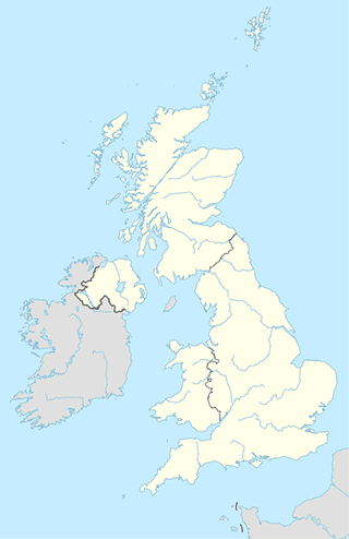
Location on the map of United Kingdom
Bognor Regis
Roofing contractor
TDS
Cherry Tree Cottage/Babsham La, Bognor Regis
Roofing contractor
read more
the roofing-company ltd
8 Frandor Road, Bognor Regis
Roofing contractor
read more
Global Scaffolding ( Sussex) Ltd
54 Hook Lane, Bognor Regis
Roofing contractor
read more
A & C
North Bersted Street, Bognor Regis
Roofing contractor
read more
Robin Cox
18 Elizabeth Avenue, Bognor Regis
Roofing contractor
read more
A & C Roofing & Building
39 North Bersted Street, Bognor Regis
Roofing contractor
read more
Harding M Roofing Services Ltd
58 Lincoln Avenue, Bognor Regis
Roofing contractor
read more
Shopping mall
West Meads Precinct
6A The Precinct, Bognor Regis
Shopping mall
read more
Emily's Home Care
Wadhurst Close, Bognor Regis
Shopping mall
read more
Purple Webz
Shelley House, Sudley Road, Bognor Regis
Shopping mall
read more
Arun Retail Park
Shripney Road, Bognor Regis
Shopping mall
read more
Transit station
Brazwick Avenue
United Kingdom
Transit station
read more
The Olive Branch
United Kingdom
Transit station
read more
The Olive
United Kingdom
Transit station
read more
Glebelands Farm
United Kingdom
Transit station
read more
University
The Regis School
Westloats Lane, Bognor Regis
University
read more
Razzamataz Theatre School Bognor Regis
Community Centre Lakeland Avenue, Bognor Regis
University
read more
Butterbees Childcare - www.butterbees-childcare.co.uk
30 Frandor Road, Bognor Regis
University
read more
Car dealer
King of Chichester
Saffron Cottage, 61 Hewarts Lane, Bognor Regis
Car dealer
read more
Cars of Selsey Ltd
94 High Street, Selsey, Chichester
Car dealer
read more
BMS Cars Selsey
96 High Street, Chichester
Car dealer
read more
Yeomans Honda Bognor Regis
Chichester Road, Bognor Regis
Car dealer
read more
📑
Bognor Regis all categories
Accounting
Art gallery
Atm
Bakery
Bar
Beauty salon
Bicycle store
Book store
Bus station
Cafe
Campground
Car dealer
Car rental
Car repair
Car wash
Cemetery
Church
Clothing store
Convenience store
Doctor
Electrician
Electronics store
Finance
Fire station
Florist
Food
Funeral home
Furniture store
Gas station
General contractor
Gym
Hair care
Hardware store
Health
Home goods store
Hospital
Jewelry store
Laundry
Lawyer
Library
Liquor store
Local government office
Locality
Locksmith
Lodging
Meal delivery
Meal takeaway
Moving company
Night club
Painter
Park
Pet store
Pharmacy
Physiotherapist
Plumber
Point of interest
Post office
Real estate agency
Restaurant
Roofing contractor
Rv park, camping
School
Shopping mall
Store
Supermarket
Taxi stand
Transit station
Travel agency
University
Veterinary care
administrative area level 3
sublocality level 1
↑