places in Canterbury
United Kingdom
Canterbury
Canterbury
Administrative Region:
England
population:
55 087
calling code:
+44-1227
postcode:
CT1-CT4
Location on the map of United Kingdom
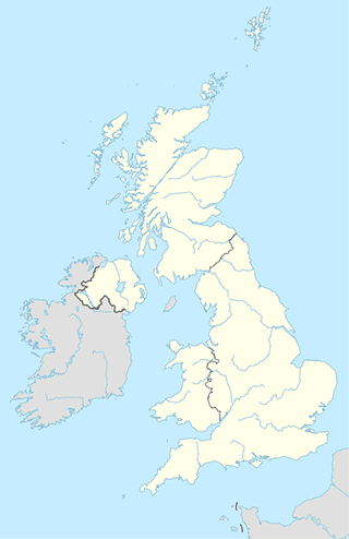
Canterbury
Gas station
BP
Boughton Bypass, Canterbury
Gas station
read more
Esso
Broad Oak Road, Canterbury
Gas station
read more
Esso
Sturry Road, Canterbury
Gas station
read more
BP
Upper Harbledown, Canterbury
Gas station
read more
Wincheap Service Station
188 Wincheap, Canterbury
Gas station
read more
MRH Gate
A2, Faversham
Gas station
read more
Asda Petrol Station
160 Sturry Road, Canterbury
Gas station
read more
Harvester Energy
Bramling Road, Canterbury
Gas station
read more
Esso
A2, Canterbury
Gas station
read more
Morrisons Petrol Station
10 Ten Perch Road, Canterbury
Gas station
read more
Esso
196 Wincheap, Canterbury
Gas station
read more
Health
Take Off & Take Off (Kent) CIC
34 Military Road, Canterbury
Health
read more
The Healing Yard
Kingsmead Leisure Centre, Canterbury
Health
read more
L'arche
21-23 Redwood Close, Canterbury
Health
read more
Kent Sport Physiotherapy Clinic
Sports Centre, Park Wood Road, Canterbury
Health
read more
Speech Link Multimedia Ltd
University Road, Canterbury
Health
read more
Wing Hong Chinese Medical Centre Ltd
29 Saint George's Place, Canterbury
Health
read more
Ultrasound Plus
37 Northgate, Canterbury
Health
read more
NMF Clinic: Reflexology in Canterbury & Faversham
62 Northgate, Canterbury
Health
read more
Waymark Counselling Service
1 Link Lane, Canterbury
Health
read more
Angela Lee: Registered Homeopath
The Homeopathy Room, 21 Hospital Lane, Canterbury
Health
read more
Holistic Health
62 Northgate, Canterbury
Health
read more
Project SWAP CIC
34 Military Road, Canterbury
Health
read more
St Dunstan's Therapy Centre
Lombard House, Upper Bridge Street, Canterbury
Health
read more
Dimensions, The Blue Warren
Summer Hill, Harbledown, Canterbury
Health
read more
Jonny Baker, Coaching and Hypnotherapy
School Lane, Fordwich, Canterbury
Health
read more
Mosque
Canterbury Mosque
The Markaz, 1 Giles Lane, Canterbury
Mosque
read more
Park
Birley's Pavillion And Playing Fields
Canterbury
Park
read more
Beverley Meadow
Det Forenede Kongerige
Park
read more
Canterbury skate park
Canterbury
Park
read more
Besttest Park
Canterbury
Park
read more
Thanington Recreation Ground
Canterbury
Park
read more
Kingsmead Playing Field
14 Broad Oak Road, Canterbury
Park
read more
No Man's Orchard
Chartham, Canterbury
Park
read more
Thanington Recreation Ground
Det Forenede Kongerige
Park
read more
Stodmarsh Nature Reserve
4BB, Lambkin Wall, Canterbury
Park
read more
Beverley Meadow
Zjednoczone Królestwo
Park
read more
Bourne Park
Canterbury
Park
read more
Abbots Mill Garden
Zjednoczone Królestwo
Park
read more
Bourne Park
Bridge, Canterbury
Park
read more
Beverley Meadow
United Kingdom
Park
read more
RSPB Blean Woods
Rough Common Rd, Rough Common, Canterbury
Park
read more
Subpremise
Dukes Meadow
Canterbury
Subpremise
read more
📑
Canterbury all categories
Accounting
Amusement park
Art gallery
Atm
Bakery
Bank
Bar
Beauty salon
Bicycle store
Book store
Bus station
Cafe
Campground
Car dealer
Car rental
Car repair
Car wash
Cemetery
Church
City hall
Clothing store
Convenience store
Courthouse
Dentist
Department store
Doctor
Electrician
Electronics store
Finance
Fire station
Florist
Food
Funeral home
Furniture store
Gas station
General contractor
Grocery or supermarket
Gym
Hair care
Hardware store
Health
Home goods store
Hospital
Insurance agency
Jewelry store
Laundry
Lawyer
Library
Liquor store
Local government office
Locality
Locksmith
Lodging
Meal delivery
Meal takeaway
Mosque
Movie theater
Moving company
Museum
Natural feature
Neighborhood
Night club
Painter
Park
Parking
Pet store
Pharmacy
Physiotherapist
Place of worship
Plumber
Point of interest
Police
Post office
Premise
Real estate agency
Restaurant
Roofing contractor
Route
Rv park, camping
School
Shoe store
Shopping mall
Spa
Stadium
Storage
Store
Subpremise
Supermarket
Taxi stand
Train station
Transit station
Travel agency
University
Veterinary care
Zoo
administrative area level 3
administrative area level 4
sublocality level 1
↑