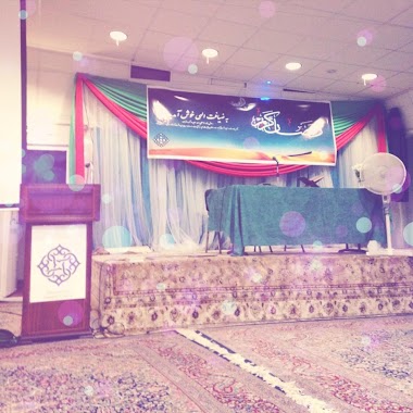
Mosque nearby Old Trafford Muslim Society
United Kingdom
Mosque nearby Old Trafford Muslim Society
Old Trafford Muslim Society
87, Stamford Street, M16 9JE, Stretford, Greater Manchester, GB United Kingdom
contacts phone
:
+44 161 227 8687
Latitude:
53.460853
, Longitude:
-2.263362
larger map & directions
read more
nearest Mosque
19 m
Jame'ah Masjid E Noor
87 Stamford Street, Manchester
Mosque
read more
208 m
Masjid Imdadia مسجد
26 Blackburn Street, Stretford, Manchester
Mosque
read more
208 m
Masjid Imdadia
26 Blackburn Street, Stretford, Manchester
Mosque
read more
761 m
Kurdish masjd
Mosque
read more
786 m
Masjid E Hidayah
Old Trafford, 19 Humphrey Road, Stretford, Manchester
Mosque
read more
847 m
Salaam Community Association
40 Raby Street, Manchester
Mosque
read more
1.226 km
Arrahman Manchester Islamic Cultural Association
16 Bedwell Street, Manchester
Mosque
read more
1.43 km
Faizan-e-Islam Masjid
229 Ayres Road, Stretford, Manchester
Mosque
read more
1.451 km
Zakariya Masjid and Madrassah
24 Clarendon Road, Manchester
Mosque
read more
1.584 km
Darul Amaan Mosque مسجد
15 Greenheys Lane, Manchester
Mosque
read more
1.584 km
Darul Amaan Mosque
15 Greenheys Lane, Manchester
Mosque
read more
1.658 km
Ambrose Mosque
180 Oxford Road, Manchester
Mosque
read more
1.994 km
Jaffaria Islamic Centre
Jaffaria Islamic Centre, 404 Moss Lane East, Manchester
Mosque
read more
2.057 km
Manchester Islamic Centre
5 Sidney Street, Manchester
Mosque
read more
2.087 km
Manchester Islamic Institute
5 Sidney Street, Manchester
Mosque
read more
2.18 km
Al-Furqan Islamic Centre Manchester
42 Great Southern Street, Manchester
Mosque
read more
2.668 km
Shahjalal Mosque and Islamic Centre
1A Eileen Grove, Manchester
Mosque
read more
2.947 km
Masjid abubacker asideq
Manchester
Mosque
read more
3.001 km
Manchester Central Mosque & Islamic Cultural Centre
20 Upper Park Road, Manchester
Mosque
read more
3.001 km
Manchester Central Mosque
20 Upper Park Road, Manchester
Mosque
read more
3.039 km
Mosque/Masjid
4 Tariff Street, Manchester
Mosque
read more
3.084 km
Mosque
Brick Street, Manchester
Mosque
read more
3.095 km
Muslim Youth Foundation
27 Turner Street, Manchester
Mosque
read more
4.006 km
Al Murtaza Trust
Honey Street, Manchester
Mosque
read more
4.829 km
Iqra Mosque and welfare Foundation centre
32 Pink Bank Lane, Manchester
Mosque
read more
📑
all categories
Accounting
Administrative area level 1
Administrative area level 2
Airport
Amusement park
Aquarium
Art gallery
Atm
Bakery
Bank
Bar
Beauty salon
Bicycle store
Book store
Bowling alley
Bus station
Cafe
Campground
Car dealer
Car rental
Car repair
Car wash
Casino
Cemetery
Church
City hall
Clothing store
Colloquial area
Convenience store
Courthouse
Dentist
Department store
Doctor
Electrician
Electronics store
Embassy
Establishment
Finance
Fire station
Florist
Food
Funeral home
Furniture store
Gas station
General contractor
Grocery or supermarket
Gym
Hair care
Hardware store
Health
Hindu Temple
Home goods store
Hospital
Insurance agency
Jewelry store
Laundry
Lawyer
Library
Light rail station
Liquor store
Local government office
Locality
Locksmith
Lodging
Meal delivery
Meal takeaway
Mosque
Movie rental
Movie theater
Moving company
Museum
Natural feature
Neighborhood
Night club
Painter
Park
Parking
Pet store
Pharmacy
Physiotherapist
Place of worship
Plumber
Point of interest
Police
Political
Post office
Premise
Real estate agency
Restaurant
Roofing contractor
Route
Rv park, camping
School
Shoe store
Shopping mall
Spa
Stadium
Storage
Store
Subpremise
Subway station
Supermarket
Synagogue
Taxi stand
Train station
Transit station
Travel agency
University
Veterinary care
Zoo
administrative area level 3
administrative area level 4
sublocality level 1
↑