Night club nearby The Factory
Coronavirus disease (COVID-19) Situation
confirmed cases
24910387
deaths
232112
United Kingdom
Night club nearby The Factory
The Factory
24 Lockyer Street, Plymouth Vereinigtes Königreich
contacts phone
:
+44
Latitude:
50.3686953
, Longitude:
-4.1441165
read more
nearest Night club
155 m
Fever & Boutique Plymouth
33 Derrys Cross, Plymouth
Night club
read more
179 m
Revolution
1, Derrys Cross, Plymouth
Night club
read more
182 m
Revolution Plymouth
1, Derry's Cross, Plymouth
Night club
read more
277 m
Fuse Cocktail Bar & Nightclub
6 Union Street, Plymouth
Night club
read more
322 m
Popworld
18 Union Street, Plymouth
Night club
read more
402 m
Images
89A Cornwall Street, Plymouth
Night club
read more
415 m
The Two Trees
30 Union Street, Plymouth
Night club
read more
432 m
Club Envy
30 Bath Street, Plymouth
Night club
read more
433 m
Crash Manor Nightclub
33 Union Street, Plymouth
Night club
read more
452 m
Jesters
39-43 Union Street, Plymouth
Night club
read more
531 m
Nations Nightclub
75 Union Street, Plymouth
Night club
read more
583 m
OMG Plymouth
11 Parade, Plymouth
Night club
read more
650 m
Annabel's
88 Vauxhall Street, Plymouth
Night club
read more
671 m
PL4NET
142 Vauxhall Street, Plymouth
Night club
read more
676 m
The Dairy Private Lounge
27 Bretonside, Plymouth
Night club
read more
867 m
ATJ Party Point
Plymouth
Night club
read more
891 m
Switch
Plymouth, 2 Sherwell Arcade, Plymouth
Night club
read more
897 m
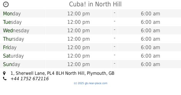
Cuba!
1 Sherwell Lane, North Hill, Plymouth
Night club
read more
1.035 km
Pilgrim Primary School
0hf, 115 Exeter Street, Plymouth
Night club
read more
1.291 km
Jake's Flids
14 Hamilton Gardens, Plymouth
Night club
read more
1.344 km
PRYZM
Barbican Leisure Park, Barbican Approach, Plymouth
Night club
read more
1.553 km
The Underground
15 Mutley Plain, Plymouth
Night club
read more
1.706 km
Mobile Disco Karaoke Plymouth
3a Osborne Road, Plymouth
Night club
read more
1.832 km
Rouson's Kickin' Karaoke + Entertainment
Plymouth
Night club
read more
2.018 km
The Lounge
7 Stopford Place, Plymouth
Night club
read more
📑
all categories
Accounting
Administrative area level 1
Administrative area level 2
Airport
Amusement park
Aquarium
Art gallery
Atm
Bakery
Bank
Bar
Beauty salon
Bicycle store
Book store
Bowling alley
Bus station
Cafe
Campground
Car dealer
Car rental
Car repair
Car wash
Casino
Cemetery
Church
City hall
Clothing store
Colloquial area
Convenience store
Courthouse
Dentist
Department store
Doctor
Electrician
Electronics store
Embassy
Establishment
Finance
Fire station
Florist
Food
Funeral home
Furniture store
Gas station
General contractor
Grocery or supermarket
Gym
Hair care
Hardware store
Health
Hindu Temple
Home goods store
Hospital
Insurance agency
Jewelry store
Laundry
Lawyer
Library
Light rail station
Liquor store
Local government office
Locality
Locksmith
Lodging
Meal delivery
Meal takeaway
Mosque
Movie rental
Movie theater
Moving company
Museum
Natural feature
Neighborhood
Night club
Painter
Park
Parking
Pet store
Pharmacy
Physiotherapist
Place of worship
Plumber
Point of interest
Police
Political
Post office
Premise
Real estate agency
Restaurant
Roofing contractor
Route
Rv park, camping
School
Shoe store
Shopping mall
Spa
Stadium
Storage
Store
Subpremise
Subway station
Supermarket
Synagogue
Taxi stand
Train station
Transit station
Travel agency
University
Veterinary care
Zoo
administrative area level 3
administrative area level 4
sublocality level 1
↑