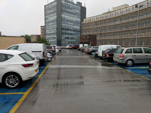
Parking nearby Car Park At Brunel's ss Great Britain
United Kingdom
Parking nearby Car Park At Brunel's ss Great Britain
Car Park At Brunel's ss Great Britain
23 Gas Ferry Rd, Bristol Det Forenede Kongerige
contacts phone
:
+44
Latitude:
51.4480626
, Longitude:
-2.606821
read more
nearest Parking
23 m
Maritime Heritage Centre Car Park
24 Gas Ferry Road, Bristol
Parking
read more
232 m
Wapping Wharf
Museum St, Midland Wharf
Parking
read more
332 m
Parking
Canon's Marsh, Bristol
Parking
read more
339 m
Britannia Car Park
10 Canons Way, Bristol
Parking
read more
533 m
College Street Car Park
Brandon, Bristol
Parking
read more
649 m
Frog Lane
Frog Lane, Bristol
Parking
read more
649 m
Frog Lane
Frog Ln, Bristol
Parking
read more
682 m
Wapping Wharf Car Park
Wapping Road, Bristol
Parking
read more
713 m
Cumberland Rd Parking
Bristol
Parking
read more
713 m
Cumberland Rd Parking
Cumberland Rd, Bristol
Parking
read more
738 m
NCP Prince Street MSCP
Prince Street, Bristol
Parking
read more
797 m
The Grove Car Park
40 The Grove, Bristol
Parking
read more
872 m
West End Car Park
Jacob's Wells Road, Bristol
Parking
read more
876 m
Radisson Blu Car Park
Marsh Street, Bristol
Parking
read more
884 m
Charles Place Car Park
1 Charles Place, Bristol
Parking
read more
893 m
St John'S Rd Parking
St John'S Rd, Bristol
Parking
read more
909 m
Trenchard Street Car Park
Trench St, Bristol
Parking
read more
921 m
주차장
27A Richmond Terrace, Bristol
Parking
read more
966 m
Diamond Street Car Park
Diamond Street, Bristol
Parking
read more
983 m
Oldfield Place Car Park
Oldfield Place, Hotwells, Bristol
Parking
read more
1.005 km
Little Paradise Car Park
Little Paradise, Bristol
Parking
read more
1.084 km
Old Park Hill Gravel
12 Old Park Hill, Bristol
Parking
read more
1.095 km
Bedminster Car Park
Dalby Avenue, Bristol
Parking
read more
1.34 km
NCP Car Park
Fairfax Street, Bristol
Parking
read more
1.345 km
Nelson Street Car Park
All Saints' Street, Bristol
Parking
read more
📑
all categories
Accounting
Administrative area level 1
Administrative area level 2
Airport
Amusement park
Aquarium
Art gallery
Atm
Bakery
Bank
Bar
Beauty salon
Bicycle store
Book store
Bowling alley
Bus station
Cafe
Campground
Car dealer
Car rental
Car repair
Car wash
Casino
Cemetery
Church
City hall
Clothing store
Colloquial area
Convenience store
Courthouse
Dentist
Department store
Doctor
Electrician
Electronics store
Embassy
Establishment
Finance
Fire station
Florist
Food
Funeral home
Furniture store
Gas station
General contractor
Grocery or supermarket
Gym
Hair care
Hardware store
Health
Hindu Temple
Home goods store
Hospital
Insurance agency
Jewelry store
Laundry
Lawyer
Library
Light rail station
Liquor store
Local government office
Locality
Locksmith
Lodging
Meal delivery
Meal takeaway
Mosque
Movie rental
Movie theater
Moving company
Museum
Natural feature
Neighborhood
Night club
Painter
Park
Parking
Pet store
Pharmacy
Physiotherapist
Place of worship
Plumber
Point of interest
Police
Political
Post office
Premise
Real estate agency
Restaurant
Roofing contractor
Route
Rv park, camping
School
Shoe store
Shopping mall
Spa
Stadium
Storage
Store
Subpremise
Subway station
Supermarket
Synagogue
Taxi stand
Train station
Transit station
Travel agency
University
Veterinary care
Zoo
administrative area level 3
administrative area level 4
sublocality level 1
↑