places in York
United Kingdom
York
York
Administrative Region:
England
population:
141 671
calling code:
+44-1904
postcode:
YO1
YO10
YO19
YO23-YO24
YO26
YO30-YO32
YO41-YO43
YO51
YO60-YO62
YO90
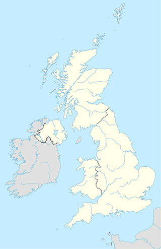
Location on the map of United Kingdom
York
Courthouse
York County Court
Piccadilly House, 55 Piccadilly, York
Courthouse
read more
York & Selby Magistrates' Court
Clifford Street, York
Courthouse
read more
York Crown Court
The Castle, York
Courthouse
read more
Subpremise
201 - 202
Fulford
Subpremise
read more
99-100
Fulford
Subpremise
read more
Hazel Court Household Waste Recycling Centre
1 Hazel Court, York
Subpremise
read more
27 - 28
Fulford
Subpremise
read more
Taxi stand
York Cars Taxis
4, Odeon Buildings, Blossom Street, York
Taxi stand
read more
Airport
The Gyrocopter Experience
Rufforth Airfield, Rufforth, York
Airport
read more
Rufforth Airfield
Wetherby Road, York
Airport
read more
Local Minibus Travel
7 Langsett Grove, Rawcliffe, York
Airport
read more
BOSSTRAVEL YORK
23 Lotherington Mews, York
Airport
read more
Premier De-Icers Limited
Beck Cottage, Main Street, Elvington, York
Airport
read more
Bank
Lloyds Bank
67 York Road, York
Bank
read more
Halifax
4 Davygate, York
Bank
read more
Halifax
73 York Road, York
Bank
read more
Handelsbanken York
Opus Avenue, York
Bank
read more
RBS
6 Nessgate, York
Bank
read more
Leeds Building Society
49 York Road, York
Bank
read more
Barclays Bank
11/12 Main Street, Heslington, York
Bank
read more
NatWest Bank
York University, Main Street, Heslington, York
Bank
read more
The Co-op Bank - York
15 - 17 Feasegate, York
Bank
read more
Santander
7 High Ousegate, York
Bank
read more
Lloyds Business Centre
2 Pavement, York
Bank
read more
Natwest
United Kingdom
Bank
read more
Virgin Money
2 New St, York
Bank
read more
Barclays Bank
42 Market Place, Pocklington, York
Bank
read more
Handelsbanken York
Maple House, F2, Shipton Road, York
Bank
read more
📑
York all categories
Accounting
Administrative area level 2
Airport
Amusement park
Art gallery
Atm
Bakery
Bank
Bar
Beauty salon
Bicycle store
Book store
Bowling alley
Bus station
Cafe
Campground
Car dealer
Car rental
Car repair
Car wash
Casino
Cemetery
Church
Clothing store
Convenience store
Courthouse
Dentist
Department store
Doctor
Electrician
Electronics store
Finance
Fire station
Florist
Food
Funeral home
Furniture store
Gas station
General contractor
Grocery or supermarket
Gym
Hair care
Hardware store
Health
Home goods store
Hospital
Insurance agency
Jewelry store
Laundry
Lawyer
Library
Liquor store
Local government office
Locality
Locksmith
Lodging
Meal delivery
Meal takeaway
Mosque
Movie rental
Movie theater
Moving company
Museum
Natural feature
Neighborhood
Night club
Painter
Park
Parking
Pet store
Pharmacy
Physiotherapist
Place of worship
Plumber
Point of interest
Police
Political
Post office
Premise
Real estate agency
Restaurant
Roofing contractor
Route
Rv park, camping
School
Shoe store
Shopping mall
Spa
Stadium
Storage
Store
Subpremise
Supermarket
Taxi stand
Train station
Transit station
Travel agency
University
Veterinary care
Zoo
administrative area level 4
sublocality level 1
↑